Beautiful views from rock outcroppings with an easy hike.
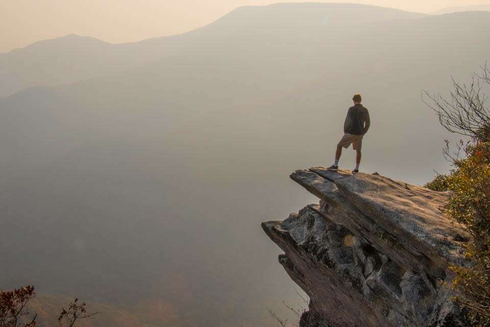
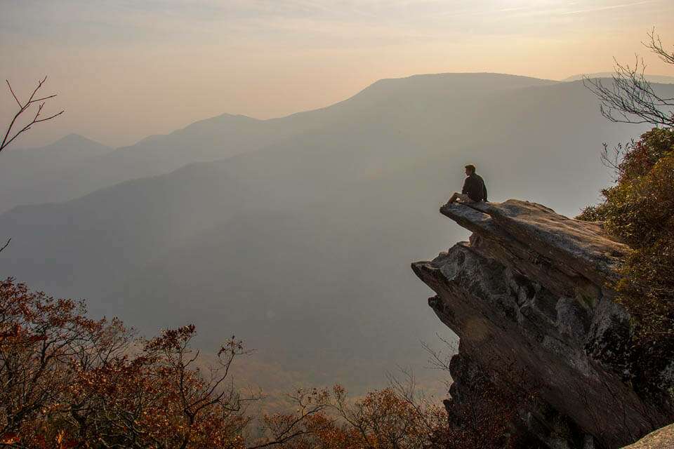
Standing at the end of Pickens Nose for a unique picture opportunity. The iconic rock structure at Pickens Nose that was named after General Andrew Pickens. There are many rock outcroppings to enjoy the views from at Pickens Nose. Enjoying an Autumn view at Pickens Nose. There are a number of outcroppings that provide breathtaking views.
In the far corner of Western North Carolina, just south of Franklin in the Nantahala National Forest, is the rocky ridge called Pickens Nose. Exactly where the name came from is unknown but most stories agree that it was named after the long angular nose of General Andrew Pickens who served in the Cherokee War of 1760-1761. Whether the name was to honor or spite him is what remains the mystery. Regardless of the funny name, this short 20 minute hike to the top of the ridge offers beautiful views of the surrounding valleys via numerous exposed outcroppings.
The trailhead to Pickens Nose is located on the unpaved Forest Service Road 83 or Ball Creek Road. You can approach from either US 441 or Highway 64 but either way will require you to travel several miles on unpaved forest roads. We found the roads to be fine for cars during dry conditions but will likely be more difficult in wet conditions when the roads will likely be very muddy. The area may also be closed or unsafe to travel during the winter so plan accordingly. We also found that if you put “Pickens Nose” into your GPS, it will likely take you to the wrong spot. You will be close but not at the trailhead which is clearly marked with a sign. During our trip, we had success using the GPS coordinates of the trailhead which you can find on our website. Whatever method you use to get there, take your time and enjoy the trip through a remote section of the Nantahala National Forest.
The parking area for Pickens Nose isn’t huge but should be sufficient for most days as you can easily overflow onto the forest road if necessary. As mentioned earlier, the trailhead is marked with a nice sign on the road so you should have no problem arriving at the right spot.
The trail for Pickens Nose starts at the corner of the parking area just across the road from the sign. It is an easy 3/4 of a mile walk up the ridge through beautiful patches of rhododendron and mountain laurel that sometimes are so thick they form tunnels. The ascent is gradual but constant until you reach the top of the ridge. As you climb, look for the short side trails that lead to various views on your walk up the ridge. There are only a few of them and each is worth checking out as you work your way to the end of the trail with the final views that, on a clear day, extend all the way into Georgia. There were numerous wildfires in the area on the day we hiked up Pickens Nose so the views were somewhat limited by all of the smoke. It was still a very beautiful hike but we couldn’t help but think of all of the people who build, maintain, and if this case, defend the beautiful views like this that are available for all of us to enjoy. They are all hero’s in our opinion.
Note that many of the views are extremely exposed so be careful and watch those kids if you bring them.
This is an out and back hike so when you are done enjoying the views from Pickens Nose, hike safely back to the parking area.


I recently went to Pickens nose and hike to the top and noticed there was a fire pit up there. I was wondering if I brought a small tent if I could stay the night up there is that allowed?