A beautiful but strenuous 8 mile hike up the Profile Trail to Calloway Peak.

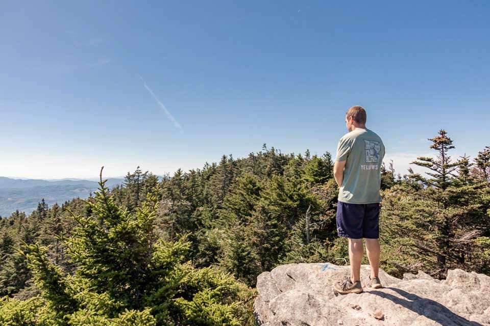
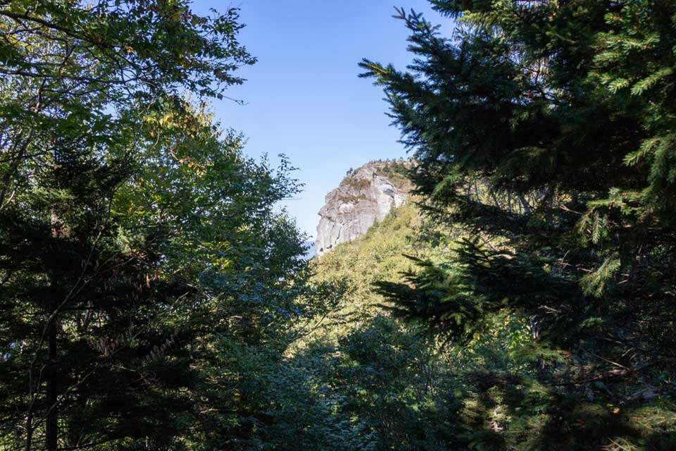
The top of the hike at Calloway Peak. One of the many vistas along the trail that you will encounter on the Profile Trail.
In the high Appalachian mountain region of North Carolina is the landscape icon known as Grandfather Mountain. This rugged area contains stunning mountain beauty and is home to some of the states more challenging hiking trails which includes the Profile Trail. At just over 7 miles, this trail ascends almost 2,000 feet and is not for the casual hiker. While the profile trail technically ends at Calloway Gap, most people continue to Calloway Peak which is what we will be describing in this episode. This adds an additional 8/10’s of a mile to the hike making the complete trip right at 8 miles. This trail also stays completely within the Grandfather Mountain State Park making it a fee-free way to experience this wonderful mountain region.
The Profile Trail is accessed via the Profile Parking Area which is located at 4198 NC Highway 105 North in Banner Elk North Carolina. This is a very large and exceptional parking area with nice restroom facilities, drinking fountains, and informative signboards. This remote area of North Carolina is about 90 minutes from Asheville and 2 hours from Charlotte but it is relatively close to all of the mountain communities like Blowing Rock, Boone, and Banner Elk.
The trailhead starts from behind the large restroom building next to the informative signboard. Permits are required on this hike and can be acquired at the building by the trailhead. There are no fees for the permits but they are required.
Once you have your permit taken care of, set out on the nice, wide, orange blazed trail that initially descends into the woods and parallels and crosses the Watauga River. Initially the hike is quite pleasant and easy. It does, however, eventually start to climb as you have almost 2,000 feet you need to get behind you.
The climb isn’t too steep at first and the trail is easy to traverse as it is in great condition. It is also exceptionally marked with both blazes and the distance traveled. The terrain is also absolutely beautiful with a wide variety of trees, plants, large boulders, cliffs, and plenty of great views.
At about 2 miles in, after the trail notably becomes steeper and starts switching backing up the mountain, you reach Foscoe View. This is a great spot to take a breather and take in the outstanding view with an accompanying signboard to identify all of the peaks that can be seen in the distance.
After Foscoe View the trail continues its relentless path up the mountain and passes Profile View. Another nice spot to take a breather and enjoy the view through an opening in the trees.
As you continue up the trail, the hardwoods start to thin out and you are left with the fragrant fir trees that dominate the tops of the mountains. At 4/10’s of a mile from Calloway Gap, you reach Shanty Spring which is the last water source on the trail. It is a true spring but make sure you always treat any water you source in the wild.
The final bit of the trail is steep and rocky but eventually levels off as you reach Calloway Gap and intersect Grandfather Trail. You are just 4/10’s of a mile from Calloway Peak at this point.
Continuing left on the marked Grandfather Trail towards Calloway peak you will now follow blue blazes. Initially the trail isn’t too steep but it does steepen as you approach the final tenth of a mile to the summit. There is also a nice view worth checking out just before the summit – Watauga View.
Watauga View is about 100ft off the trail and is something you will not want to miss if you have made it this far. The views from Watauga View are amazing!
Calloway Peak is just about a tenth of a mile from Watauga View and isn’t too hard of a climb although there are a couple of fixed ladders you will need to climb to reach the summit.
Calloway Peak is the highest point on the Grandfather Mountain Ridge and is definitely a strenuous hike to get there. When you get to the top of Calloway Peak, be sure you relax and enjoy the view before taking the long trail back to the parking area.
As you head back, make sure you take the turn back onto the orange blazed Profile Trail and be safe as you head down the mountain.

