One of the more iconic rock formations in the upstate of South Carolina is the massive and
unmistakable Table Rock. The trail to the top is a strenuous endeavor!
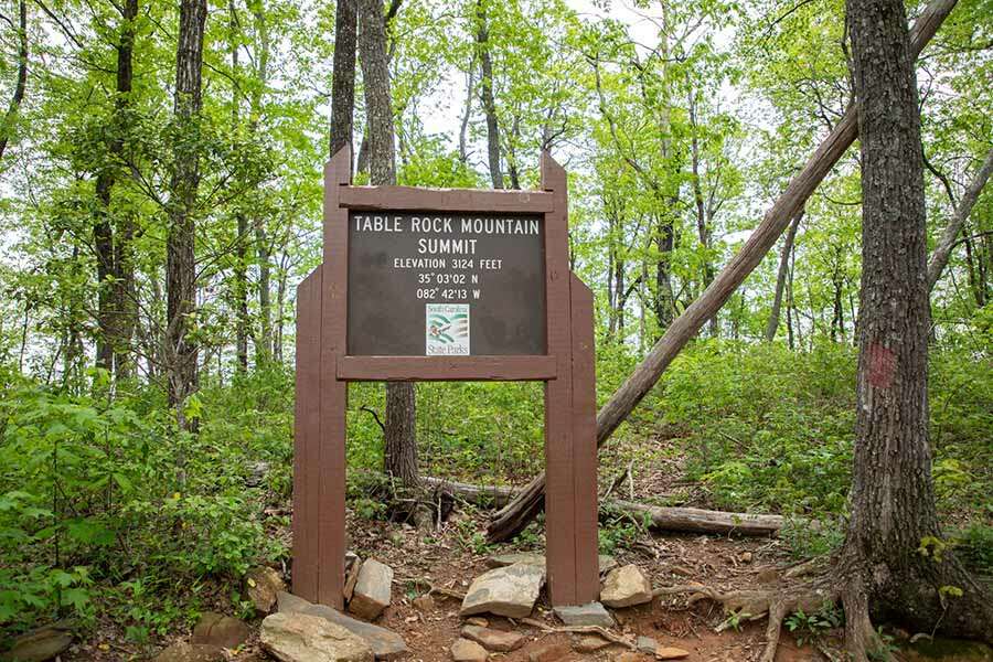
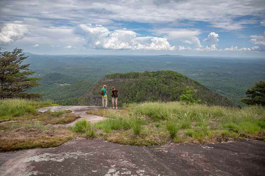
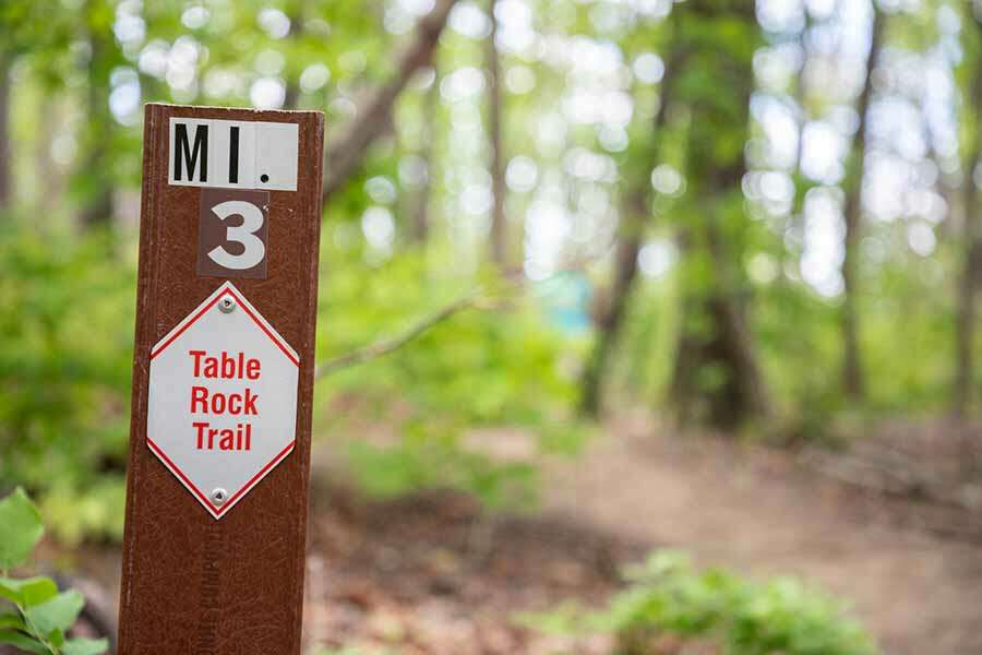
The summit marker at Table Rock Mountain. Epic views are available at the top of Table Rock! The Table Rock trail is nicely marked.
One of the more iconic rock formations in the upstate of South Carolina is the massive and unmistakable Table Rock. It is the star attraction of the self named Table Rock State Park and the seriously strenuous hike to the summit, which is a round trip hike of just over 7 miles and is almost a rite of passage hike for those living in the area. It is a very popular hike and for good reason. The views from the top are exceptional and the feeling of accomplishment after completing this hike is something to definitely be proud of. This hike, however, isn’t for everyone. It is a serious hike that experiences over 2,000 feet of elevation gain and will test your fortitude. Yet for the experienced and prepared hiker this is one of South Carolina’s great hiking experiences.
Table Rock State Park is located just off the scenic Highway 11 in Pickens South Carolina. The main visitors center is located at 158 Ellison Lane but the trailhead for Table Rock is across highway 11 on Table Rock State Park Road at the Table Rock Nature Center. There is an admission fee at Table Rock State Park which is paid as you enter the park. At the time of this video the fees were as follows – $6 for adults, $3.75 for South Carolina seniors, and $3.50 for children ages 6-15. Children 5 and under are free.
After you pay the admission fees and enter the park look for the large parking area at the far end of Pinnacle Lake. There is good signage present so you can’t miss it. The nature center and trailhead are across the street from the parking lot. All hikers must register at the trailhead using the registration cards that are present at the informative signboard. Once registration is complete, continue on the trail past the nature center and cross Carrick Creek. The Table Rock Summit Trail is marked with red blazes and there is excellent signage throughout the entire trail.
Initially the trail is paved, relatively flat, and will be more crowded compared to the upper sections of the trail as this area serves numerous trail destinations. One of these destinations is Carrick Creek Falls which you will encounter and pass fairly quickly. The trail will parallel Carrick Creek for a bit before crossing over it and then encountering a fork in the trail. Follow the red blaze to the right where you will share a piece of the trail with the green blazed Carrick Creek Trail. This section of the trail is nice with a slight elevation gain and some minor water features during the period when you parallel green creek.
At the next fork you will break away from the Carrick Creek Trail and continue to the right on the red blazed and narrower Table Rock Trail. This is where the people will start to thin out. Everyone from this point on is most likely intent on going to the summit of Table Rock. Get ready for a climb as the trail will be gaining elevation the majority of the time until you reach the summit.
As you gain elevation on the mountain the terrain becomes more rocky with some boulders being as large as a house. The view through the trees becomes increasingly better too as you brutally work your way up the mountain.
After about 1 mile from the fork with the Carrick Creek Trail you will reach an observation hut which is usually a very welcome rest stop for everyone hiking to the summit. You can relax here and enjoy great views to the south. Past the hut the trail continues about another 4/10’s of a mile and then forks again at Panther Gap. Follow the marked Table Rock Trail to the right where you will get a bit of a brief reprieve as the trail levels off for a short distance.
It isn’t long, however, and the ascent starts back up again but this time it feels like it is making up for the short flat section you just enjoyed. The natural stair steps become deeper and a few sections may require the use of your hands to overcome the obstacle.
At 2,854 feet your next major milestone to overcome is Governor’s Rock. This is a short, but very steep, rock out cropping with steps cut into the rock. This is another good rest stop with
some of the first views available towards the north side of the mountain.
The trail continues to climb after Governor’s Rock but will eventually start to level off as you reach the “tabletop” of Table Rock Mountain. The trail generally undulates as your traverse across the top of the mountain.
The summit of Table Rock Mountain is marked at 3,124 feet with a large signpost. It is a great spot for a picture but doesn’t offer much in terms of views. There are, however, almost countless views available from the various overlooks at the top of the mountain. Be mindful, especially if you have small children, of the extremely steep drop offs in just about every direction.
The trail to the summit is generally reported to be 3.6 miles to the summit but can vary slightly
depending on how far you explore the tabletop. If you have the energy we recommend going all
the way to the far end and experiencing everything Table Rock Mountain has to offer.
This is an out and back hike so when you have finished enjoying the view from atop Table Rock
Mountain, hike safely back down to the parking area.


