A 3 mile hike to a beautiful 30 foot South Carolina waterfall with several cascades below the main falls.
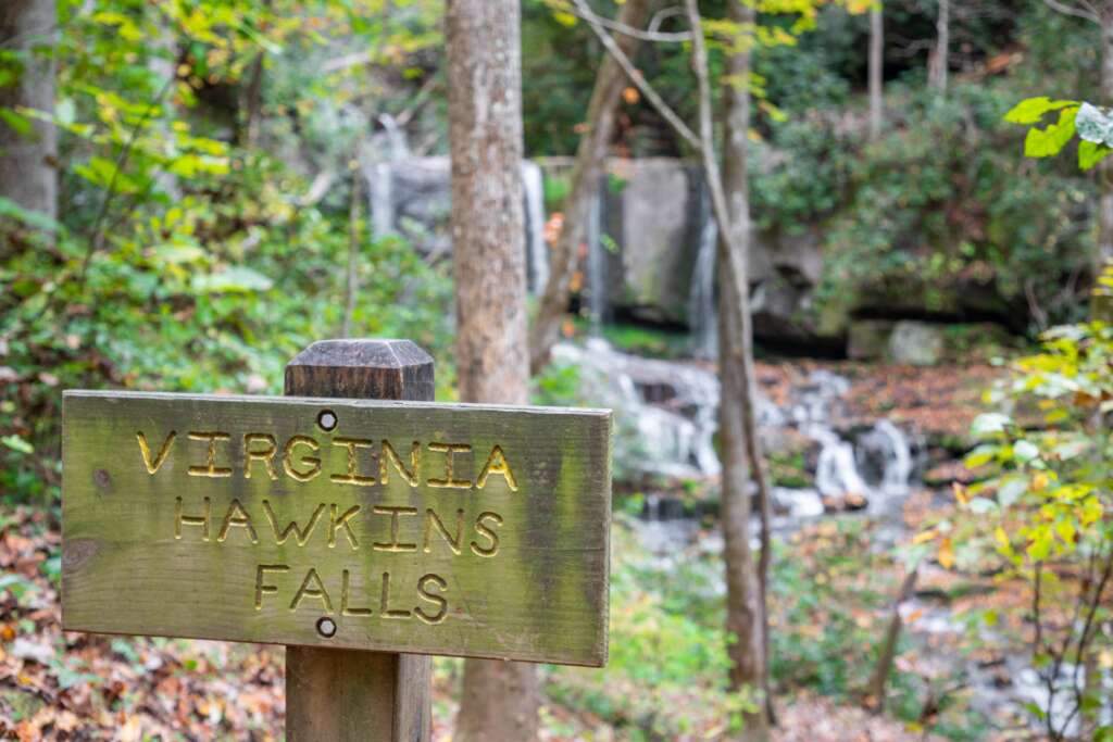
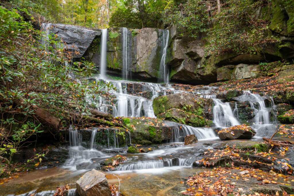
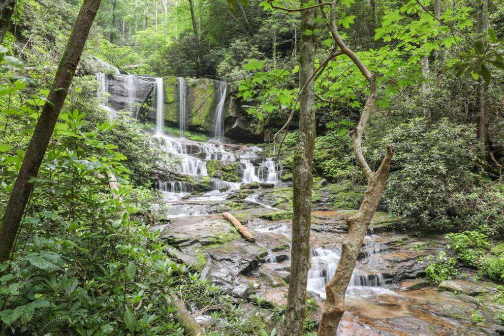
The trail sign indicating you have reached the falls. Beautiful Virginia Hawkins Falls. The view of the falls from the large viewing area above the river.
Pictures of Virginia Hawkins Falls
In the upstate of South Carolina, almost at the North Carolina border in the Laurel Forest Heritage
Preserve, is the beautiful and remote waterfall – Virginia Hawkins Falls. The falls is about 25-30 feet high with several smaller cascades just below the main falls. It is also somewhat wide and unless there is exceptional flow, it will be broken into several thin falls as Laurel Fork Creek is split at the top of the falls. It is an absolutely stunning waterfall and the moderate 3 mile round trip hike to the falls is quite pleasant and enjoyable.
The trailhead to Virginia Hawkins Falls is located on the unpaved Horsepasture Road near Rocky Bottom South Carolina. Horsepasture Road is off Highway 178 about 2.5 miles south of the North Carolina border or 8 miles North of Highway 11. As you turn onto Horsepasture Road, continue about 3.7 miles to Laurel Gap. This is where Horsepasture Road intersects with a gated forest road on your right and there will be a small parking area on the left. Look for the Laurel Fork Heritage Preserve sign just off the road that marks the trailhead. The immediate parking area is very small and has room for only 1 or 2 vehicles. Be sure not to park in front of or block the gated road. If you need additional parking there is more available at the dead-end fork that was about 1/10’th of a mile down the hill on Horsepasture Road. The trailhead is about 30 minutes from Brevard North Carolina or 1 hour from Greenville South Carolina. There are no restroom facilities at the trailhead.
The hike to Virginia Hawkins Falls starts just to the right of the sign behind a large boulder. Initially the trail is narrow and quickly descends down to a larger logging road that is much wider and is in great shape. Turn right when you encounter the logging road and follow this path downhill for about a mile. There will be a few very small creeks that you cross as you work your way down to Laurel Fork Creek.
Just after the road somewhat levels off from the descent and right before the trail intersects Laurel Fork Creek, look for a signed turnoff on the right to a campground and the trail leading up to Virginia Hawkins Falls.
Walk through the campground and look for a very nicely constructed footbridge that crosses over the creek and continues on the trail. After a very short walk up this trail you will arrive at Virginia Hawkins Falls. At the falls there is a large open area above the creek that is perfect for relaxing and enjoying the view of the waterfall. It is also easy to get down to the bottom of the creek if you want a different perspective but be mindful of the wet and slippery rocks near the base of the falls. However you choose to enjoy the view of Virginia Hawkins Falls, you are going to want to hang around a little longer at this beautiful and pristine spot in the forest.
This is an out and back hike so hike safely back up the hill to the parking area when you have finished
enjoying the falls.


